Scotland walking and wheeling
Scotland’s epic landscapes are made for exploring. Whether you’re walking through ancient woodlands, wheeling along coastal paths, or meandering through historic towns and villages, Scotland walking and wheeling routes offer plenty of opportunities to explore the great outdoors.
One of the most sustainable and scenic ways to access these adventures is by train. Community rail routes across Scotland connect you to hidden gems and well-loved destinations, making it easier than ever to explore somewhere new without the need for a car.
To help you find inspiration for you next trip, we’ve teamed up with Scotland’s community rail partnerships to curate a selection of walks and wheeling routes that are easily accessible by train. Whether you’re looking for a gentle stroll, a family-friendly trail, or a more adventurous route, there’s something here for everyone.
Read on to discover our top picks and start your journey into Scotland’s great outdoors, one step or wheel at a time.
Remember to follow the Scottish Outdoor Access Code when walking, wheeling and cycling, especially if you are taking dogs with you.
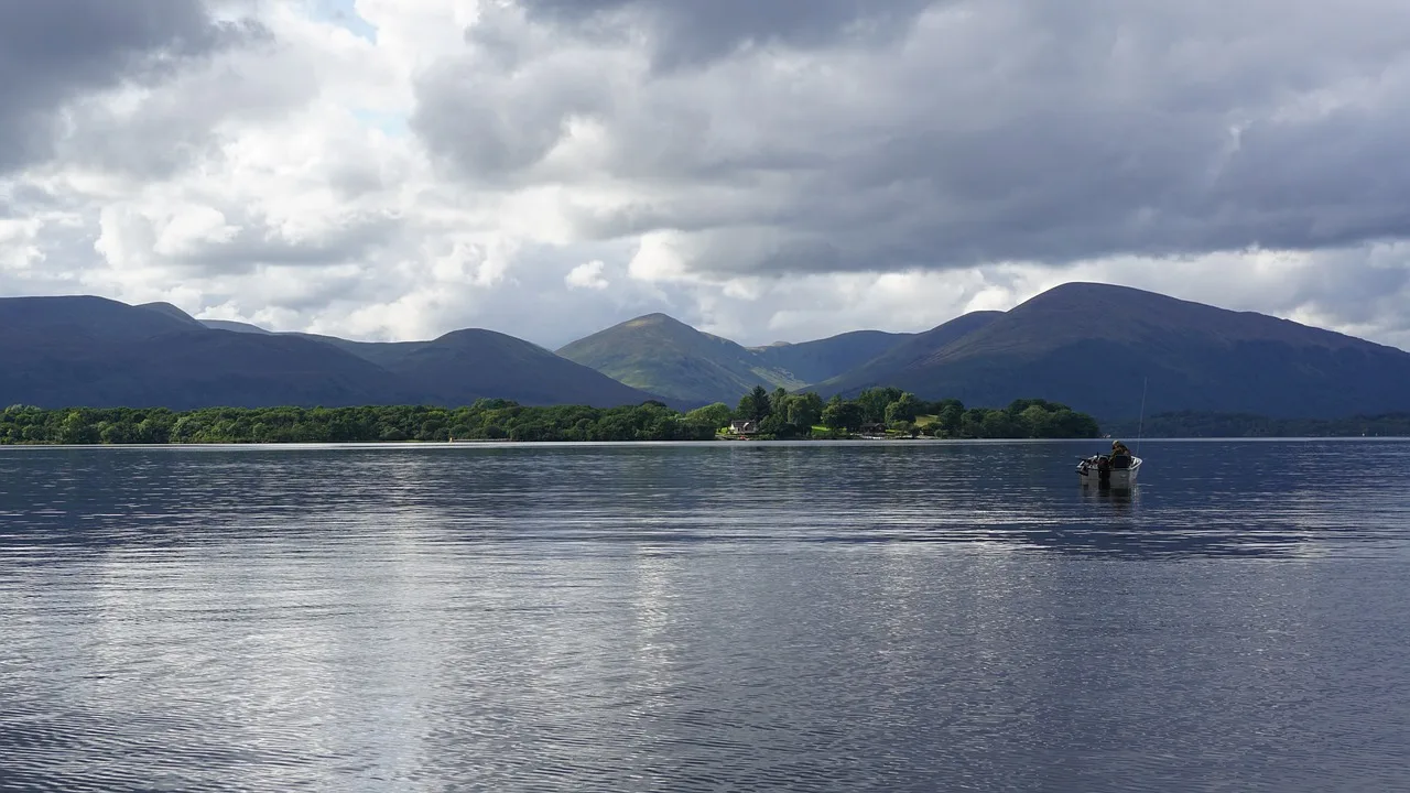
Central Scotland: Stirling and surrounds
The Strathallan Line connects Stirling with Dunblane, Bridge of Allan and beyond, offering easy access to some of central Scotland’s most picturesque walking and wheeling routes. Whether you’re looking for a gentle riverside stroll or more adventurous hill trail, these routes are all easy to reach when you take the train.
Perth | Strathallan Line
Dunblane to Ashfield Riverside Walk
- Start/End: Dunblane Station to Ashfield (return via train or same route)
- Distance: 2.75 miles | 4.25km
- Time: Approx. 2 hours
- Difficulty: Easy
- Highlights: Peaceful riverside route along Allan Water
Bridge of Allan to Dunblane via Gallow Hill
- Start/End: Bridge of Allan Station to Dunblane Station
- Distance: 2.8 miles | 4.5km
- Time: Approx. 1 hour 30 mins
- Difficulty: Easy
- Highlights: Woodland paths, riverside views, and open countryside.
Bridge of Allan to Dumyat Summit
- Start/End: Bridge of Allan Station
- Distance: 8.3 miles | 13.3km
- Time: Approx. 3 – 4 hours
- Difficulty: Moderate
- Highlights: Panoramic views from Dumyat over the Forth Valley and Wallace Monument.
Carse of Lecropt Loop
- Start/End: Bridge of Allan Station
- Distance: 4 miles | 6.5km
- Time: Approx. 1 hour 30 minutes
- Difficulty: Easy
- Highlights: Open countryside with views of Highland and Lowland landscapes.
Southern Scotland
The Borders Railway connects Edinburgh with the scenic Scottish Borders, offering a gateway to peaceful countryside, historic abbeys, and charming towns. The routes below are ideal for walkers and wheelers seeking gentle trails, cultural landmarks, and car-free adventures.
Borders Abbeys Way – long distance trail
- Start/End: Tweedbank Station
- Distance: 68 miles | 109 km, can be split into smaller routes
- Time: 5 – 6 days
- Difficulty: Moderate
- Highlights: Historic abbeys, riverside paths, and scenic countryside.
Borders Railway
Fushiebridge Circular
- Start/End: Gorebridge Station
- Distance: 2.5 miles | 4 km
- Time: Approx. 1 hour 30 minutes
- Difficulty: Easy
- Highlights: Woodland and open countryside views.
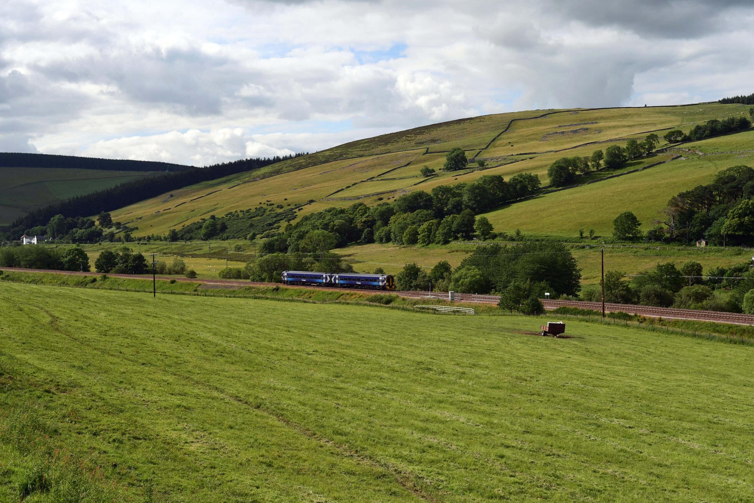
Highland Heartlands
The stunning Highland Main Line winds through the wilds of the Cairngorms National Park and provides views of some of Scotland’s most breath-taking scenery. Explore these landscapes at your own pace as you join one of the self-led routes below, all easily accessible by train.
Pitlochry Dam & Fish Ladder Trail
- Start/End: Pitlochry Dam Visitor Centre, 7 minute walk from Pitlochry Station
- Distance: 1 mile | 1.6 km
- Time: Approx. 1 hour
- Highlights: Scenic views of the River Tummel, the dam, and the fish ladder

Pitlochry | Connor Gan for Unsplash
Aviemore Orbital Path
- Start/End: Aviemore Station
- Distance: 3.75 miles | 6 km
- Time: Approx. 2 hours 30 minutes
- Highlights: Woodland and urban landscapes.
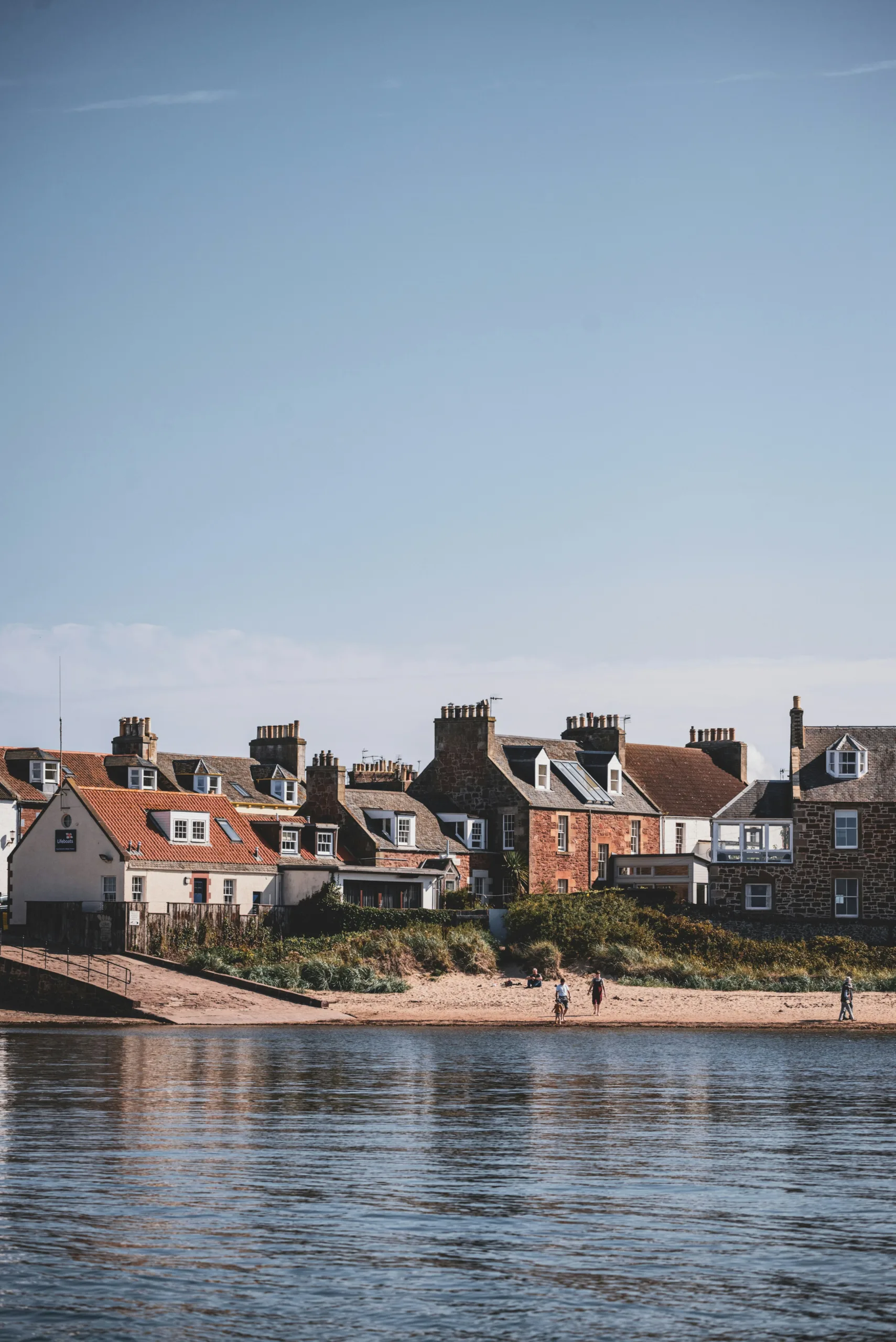
South East Scotland: East Lothian Coastline
A picturesque journey awaits along the East Lothian Line as you depart Edinburgh and pass coastal towns, beaches and coutryside trails before reaching the quaint seaside town of North Berwick. There’s no surprise that this area is a walkers and wheelers paradise, offering scenic routes and peaceful strolls.
River Esk Walkway – Musselburgh
- Start/End: Musselburgh Station → Town Centre
- Distance: 3.2 miles | 5.1 km
- Time: Approx. 1 hour 30 mins
- Difficulty: Easy
- Highlights: Riverside views, wildlife, and historic town centre.
See route map here via Go Jauntly.
Prestonpans & Cockenzie Loop
- Start/End: Prestonpans Station
- Distance: 3.3 miles | 5.4 km
- Time: Approx.1 hour 30 minutes
- Difficulty: Easy
- Highlights: Murals trail, heritage sites, and coastal views.
See route map here via Go Jauntly.
North Berwick Town & Sea Walk
- Start/End: North Berwick Station
- Distance: 3 miles | 4.8 km
- Time: Approx. 2 hours
- Difficulty: Easy
- Highlights: Harbour, beach, Seabird Centre and coastal cliffs.
See route map here via Go Jauntly.
North Berwick | Mieke Campbell for Unsplash
Northern Horizons
Scotland’s Far North Line is Britain’s most remote and northerly railway, winding through the dramatic landscapes of the Highlands, offering lots of opportunities for walking and wheeling adventures. See a full list of car-free walking adventures with easy access to the stunning Far North Line, brought to you by Far North Line Community Rail Partnership.
Helmsdale Riverside Trail
- Start/End: Helmsdale Station
- Distance: 1 mile | 1.6km
- Time: Allow approx. 30-45 minutes
- Difficulty: Easy
- Highlights: Historic riverside walk featuring a 19th century bridge, old fishing spots, and potential salmon sightings.
Invergordon Mural Trail
- Start/End: Invergordon Station
- Distance: 1 mile | 1.6km
- Time: Allow approx. 1 hour with stopping points at each mural
- Difficulty: Easy
- Highlights: Over 20 large-scale murals depicting local history and culture, all within the town centre
Brora Circular Beach and River Walk
- Start/End: Brora Station
- Distance: 2 miles | 3.2km
- Time: Approx. 1 hour
- Difficulty: Easy
- Highlights: Sandy beach, river views, and peaceful Highland scenery
Hiking in the Wilds of the West Highlands
Take an epic day trip from the city and explore the stunning landscapes along the West Highland Line. Ranging from challenging hikes and climbs to low-level, scenic routes from stations, the West Highland Community Rail Partnership brings together an array of walks along one of the world’s most scenic rail routes. Whether you’re planning a short stop-off or a full walking holiday by train, you can find new routes and hidden gems perfect for your next car-free adventure here.
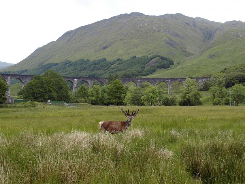
Glennfinnan Viaduct, West Highland Line | Photo: Pixabay
Please check your route before setting off for any disruptions or path closures.
